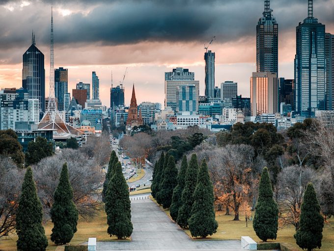
How do we ensure we have thriving and extensive urban vegetation as our cities develop, consolidate and grow? This is one of the key urban challenges of Australian cities.
This is one of the key urban challenges of Australian cities, and one that CAUL Hub is examining in several ways: from individual sites of revegetation and restoration, innovative methods for engagement with green infrastructure, to whole metropolitan regions and sub-regions.
One of our projects, called “Making greening happen in consolidating cities”, takes a metropolitan scale view of urban greening.
This project focuses on collecting and analysing data to improve the evidence base for managing urban development and change in ways that preserve and enhance the urban forest.
As part of this project, the CAUL Hub, in partnership with CSIRO, the Victorian State Government, and the New South Wales State Government, is developing metropolitan wide data on vegetation and vegetation change, urban heat, land-use and land-use change for Perth, Melbourne and Sydney; along with case studies of regional cities.
Investigating land-use and tree cover
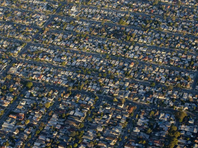
As our cities grow and change we often lose vegetation in the process. The data we are assembling is enabling comprehensive assessment of the nature and distribution of urban vegetation, and its relationship to urban land use and development.
This evidence base will help understand where vegetation is, where it is being lost and gained, and what urban policy and projects we need to reduce loss and stimulate gain.
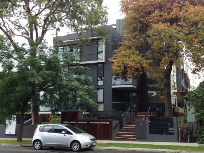
Much of the focus of urban forestry strategy and action has been on the public realm – particularly parks and street trees.
While this is vital work, having comprehensive metropolitan data is important in helping to understand the contribution of vegetation from these areas of our cities, compared to the private realm.
Examining the distribution of canopy cover in Melbourne and Perth (see chart above) illustrates the varying role of different land-uses.
The public realm of parks and street trees is certainly a significant contributor to urban vegetation. But it is the private realm that contributes the majority of urban vegetation in our cities, and this is predominantly located on residential land.
Given the development intensification pressure on the inner and middle suburbs this poses a significant risk in terms of maintaining or enhancing the urban forest.
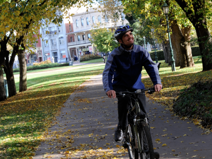
Active movement through the city
Extreme heat is a problem in Australia’s urban areas as it prevents people going outside, therefore reducing levels of activity.
In the Shadeways project, which is supported by the CAUL Hub and funded by the Smart Cities and Suburbs program and other partners, the team have been developing a digital platform to enable users to have accurate, timely heat data to identify cool routes in the City of Greater Bendigo.
Understanding the impact of vegetation on urban heat In Perth we have analysed massive amounts of urban vegetation and heat data using statistical techniques and machine learning to better understand the relationship between urban vegetation and the urban heat island effect.
The analysis shows that an increase in urban vegetation within a location reduces summer and winter land surface temperature (LST) and that this effect is larger in summer months.
Our modelling shows that trees and shrubs have a larger cooling effect on LST than grass, for example, areas with more than 20% trees and 8% shrubs were 5 degrees cooler than areas with limited vegetation. It also shows that the impact of vegetation on urban heat varies across the landscape.
A better understanding of this variation will help inform targeted approaches to urban revegetation to reduce the urban heat island effect.
The data we are producing pose challenging questions for urban policy and action. But they also provide the evidence base to help develop and evaluate responses.
With the development of metropolitan wide integrated data, we are now able to turn our attention to issues including the relationship between various types of development and tree cover loss; evaluation of impact of land-use planning mechanisms on vegetation cover; and examination of active travel and the relationship with street trees.
With quality data, and informed analysis, we will help ensure thriving and extensive urban vegetation as cities grow.
Further information on this research:
Duncan, J. M. A., Boruff, B., Saunders, A., Sun, Q., Hurley, J., & Amati, M. (2019). Turning down the heat: An enhanced understanding of the relationship between urban vegetation and surface temperature at the city scale. Science of The Total Environment, 656, 118-128.
Phelan, K., Hurley, J., & Bush, J. (2018). Land-Use Planning’s Role in Urban Forest Strategies: Recent Local Government Approaches in Australia. Urban Policy and Research, 1-12
Originally published in Issue 9 of the Urban Beat (CAUL Hub newsletter)