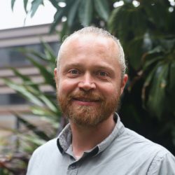
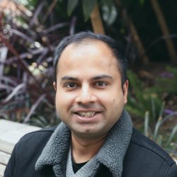
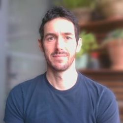
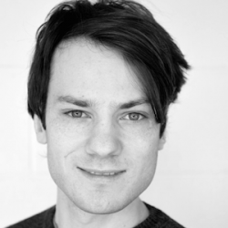
The CUR computing group is comprised of researchers across CUR who all have an interest in applying computational and data science approaches to a range of research areas related to the urban, environmental, conservation, health and sustainability domains.
We are always happy to accept new members and discuss ways in which our individual or collective expertise may help support the research of CUR members.
Please email us at ccg@rmiteduau.onmicrosoft.com if you’d like to contact us, join CCG, or find out more.
Member Biographies
Ascelin Gordon
Key words: impact evaluation, systematic conservation planning, species distribution modelling, decision theory, optimisation, spatial data, uncertainty, risk.
I completed my PhD in high energy physics and bring knowledge on statistics, modelling and programming to problems related to biodiversity conservation. This has involved optimisation problems such as where to spatially locate new conservation areas accounting for biodiversity benefit, connectivity, cost and risks. I’ve also working spatial models to predict where species are likely to occur in the landscape or where future clearing of vegetation is likely to occur based on past clearing. I also have a strong interest in impact evaluation and have worked with applying spatial models to evaluation the impact of conservation areas in reducing vegetation loss. I’m also really interested in understanding impacts of uncertainty in the outputs of modelling processes.
Roshan Sharma
Key words: spatial modelling, remote sensing, impact evaluation.
I am a PhD candidate in the ICON Science group at RMIT University. I am trained in natural sciences. My work and skills focus on systematic review and meta-analysis, impact evaluation, geospatial modelling (e.g., geostatistics, spatio-temporal models), remote sensing, predictive analysis, and conservation planning. Specifically, I have worked in using counterfactual based analysis in evaluating private protected areas, predicting risk of vegetation clearing, identifying spatial and temporal patterns of human-wildlife conflict, evaluating time-series of vegetation indexes. I program in R and Python.
Casey Visintin
Keywords: biodiversity-sensitive design, urban ecology, spatial modelling, biological conservation, habitat analogues
I am trained as an architect, urban planner, and applied ecologist. My research focusses on connecting traditional computational design tools (e.g., computer-aided drafting, building information modelling, geographic information systems) with ecological analysis and modelling applications (e.g. species distribution modelling, population viability analysis, connectivity analysis). Specifically, I am developing tools to help design professionals and developers create more biodiverse projects – for example, by assessing diversity in vegetation, connectedness to natural assets, and provision of artificial habitats.
Carl Higgs
Keywords: open science, urban liveability, epidemiology, spatial indicators, software development
I’m a research fellow and PhD student in the Healthy Liveable Cities Lab with a background in spatial epidemiology (MPH) and computational statistics (MBiostat). My PhD is focused on developing generalised methods and software for calculation and dissemination of high-resolution spatial indicators and summary measures of urban liveability using open data and an open science ethos, to support planners, policy makers and researchers in diverse contexts to better understand, monitor and shape the impacts of the built environment on health and wellbeing.
Alan Both
Keywords: spatial analysis, agent-based modelling, transport interventions, spatial indicators, workflows.
With a background in geospatial science and agent-based modelling, my work focuses on developing spatial indicators for urban areas and lending a spatial context to city-scale simulations of population movement and travel behaviour. Specifically, I have developed spatial indicators for Australian cities related to health and urban greening, contributed to automated workflows that construct synthetic populations and transport networks for agent-based models, and developed interventions for these models. I have developed automated processes for all of the projects I’ve been involved with, generally written in R and postgres. I also like to make use of open source software such as GDAL and QGIS.
Afshin Jafari
Keywords: agent-based modelling, optimisation, active transport, mode choice modelling, land use modelling.
I have a background in engineering and agent-based social system simulation. I use a range of computational methods such as city-scale transport modelling, complex network analysis, and optimisation to examine ways to make cities healthier and more sustainable places to live in. My focus is on the role transport systems on individuals’ decision to live locally and to walk or cycling to daily destinations regularly. In my PhD I was involved in building an open-source city-scale agent-based transport models for Melbourne known as AToM. I used the model to test the impact of building new cycling infrastructure on bicycle use uptake. In my current research I am working using optimisation models to examine what is required for building a city of 20-minute neighbourhoods.
