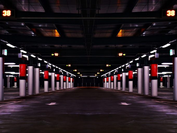
With cars stationary 95 percent of the time, car parking is essential to car-based travel. Parking is also a widespread and controversial policy concern in planning and land use decisions.
Authors: Liz Taylor & Jonathan Arundel
Although parking debates often centre on fears there is not enough parking, in many cases it is not known how much car parking there actually is. This is a problem because underestimating parking space means a risk of having too much of it at too little a price, at the expense of other possible uses for the space.
There are also significant gaps in knowledge around the extent to which car parking spaces are actually used. In many contexts, knowledge of car parking occupancy is anecdotal. Without understanding how much car parking is used, it is difficult to make informed policy decisions about its supply.
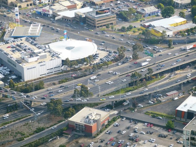
Currently no consistent or replicable data exists on the amount or use of parking space. Mapping the number and use of parking space in a city is difficult given that records are spread across different types, locations and sources, and often incomplete. The use of parking sensors and real-time monitoring is increasing, but only in very limited contexts (such as the Melbourne CBD). Otherwise, knowledge of parking is anecdotal, or is resource-intensive to collect: using field surveys, for example.
A pilot project funded by RMIT’s Urban Futures Enabling Capabilities Platform bought together planning and spatial researchers from the Centre for Urban Research, with experts in photogrammetry and remote sensing from RMIT’s School of Geospatial Sciences, to build new techniques for measuring the extent and use of surface-level car parking using remotely sensed data.
The pilot project aimed to pilot two complementary remote sensing techniques for estimating surface car parking extent and use; to produce spatial data useful in measuring car parking extent and occupancy; build methods and pathways to replicate and automate the production of car parking data at a broader scale; and improve parking metrics to inform policy decisions.
The data collection over late 2018 built spatial datasets for and tested two separate techniques:
The automated image detection of cars using feature extraction techniques from high-resolution aerial imagery (Nearmap); and
The use of ground-truthing data to correlate occupancy levels against corresponding Sentinel-2 satellite multi-spectral satellite data pixels.
The aerial imagery is much higher resolution, but relies on higher cost imagery updated on an irregular basis a few times per year. The satellite technique is much lower resolution (estimating levels of overall occupancy of a surface car park area) but relies on free and frequently updated (every 3-5 days) satellite data.
For both techniques, the pilot project compiled detailed spatial datasets comprised of thousands of individual car parks at different dates. In the short term, the pilot produced a useful dataset of parking occupancy at sample car park sites including railway stations and activity centres.
The research challenge is to build reliable, automated, predictive models to process and report on car parking data in future. A vehicle detection model built during the pilot used Histogram of Oriented Gradient (HOG) techniques to automatically detect cars in aerial imagery by ‘learning’ to recognize cars in aerial photographs based on their size and angle. The model showed some promising results: successfully identifying most cars, but with false positives (incorrectly identifying pedestrian crossings, etc. as cars) and error rates of 5-15 percent.
Next steps include improving the vehicle detection algorithm to validate results for publication; and developing statistical techniques for combining ground-truthed data with satellite ‘mixel’ data. The researchers are also identifying policy applications to extend the pilot study.