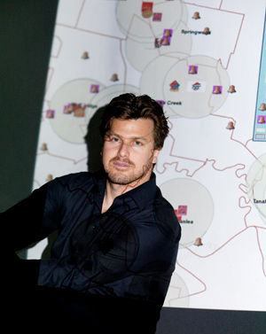
Dr Ori Gudes is a researcher with expertise in Geographic Information Systems (GIS), spatial analysis, and spatial science. His areas of research focus on GIS and health, spatial analytics, decision support systems, city analytics, data visualisation and usability evaluation.
He also has a background in teaching GIS, web mapping, and spatial analysis courses and workshops since 2008 at QUT, Griffith University, Curtin University and UNSW.
He holds a part time permanent position at Transport NSW as the Geospatial Analysis manger and before joining the Australian Urban Observatory team, was part of the JIBE project with RMIT and Cambridge.
Here is a list of his publications: https://tinyurl.com/37yk22xm
When not working, you can find him cycling on his various bikes (both MTB and Road bicycles) and also doing orienteering.